Berlin cycling routes map covers most of the dedicated cycle paths in the city and its surroundings. Berlin is well known for its highly developed bicycle lane system. It is estimated that Berlin has 710 bicycles per 1,000 residents. The city has a relatively flat surface, so it is very attractive to both commuter or leisure bike rides.
Cyclists in Berlin have access to 620 km of bicycle paths including approximately 150 km of mandatory bicycle paths (shown in the map below), 190 km of off-road bicycle routes, 60 km of bicycle lanes on roads, 70 km of shared bus lanes which are also open to cyclists, 100 km of combined pedestrian/bike paths and 50 km of marked bicycle lanes on roadside pavements or sidewalks.
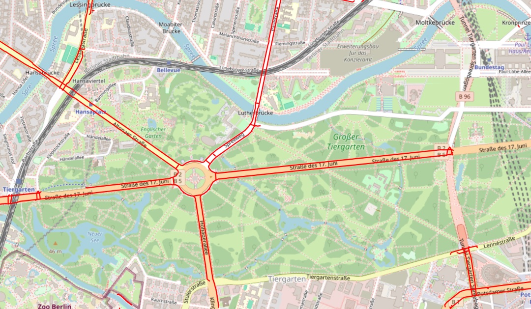
Cycling map of Berlin
The map below shows the dedicated cycling routes in the city of Berlin. However, there are many more shared bus lanes which are also open to cyclists, combined pedestrian/bike paths and marked bicycle lanes on pavements and sidewalks. This means that most of the disconnected cycling routes on the map can actually be ridden via some road that is suitable for bikes.